Entries in Terra (16)

Sunday
Sep012013

Terra: A view of Land’s End 

The Pericú, the first Paleolithic inhabitants of southernmost Baja California, may have visited this marvelous landscape today known as Land’s End. This wall of rock, as seen from Lover’s Beach, is the last major barrier before the confluence of the Sea or Cortez on the left and the Pacific Ocean further to the right.

A larger image can be found here: 500px.com/photo/43450176

(It’s good to be updating PaleoTerran again.)

Sunday
Sep162012

Terra: Skógafoss, Iceland

Skógafoss, located in the south of Iceland, is a beautiful waterfall that drops 60 meters (196 ft). A path around the right side takes you behind the fall. If you are prepared, hiking trails lead to a pass between two glaciers. (The current PaleoTerran banner image was taken along a trail nearby.)


Related Posts

Terra: The formation of Iceland & its first parliament

Geothermal energy in Iceland

Sunday
Sep022012

Terra: The formation of Iceland & its first parliament

In August, we traveled to Iceland via a one-way flight from Denver. This, and a few future posts, will cover various aspects of this wonderful trip.

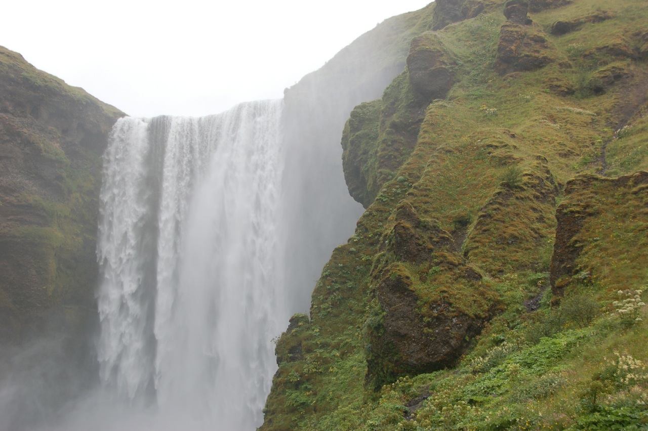
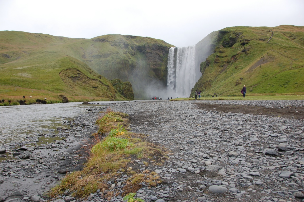
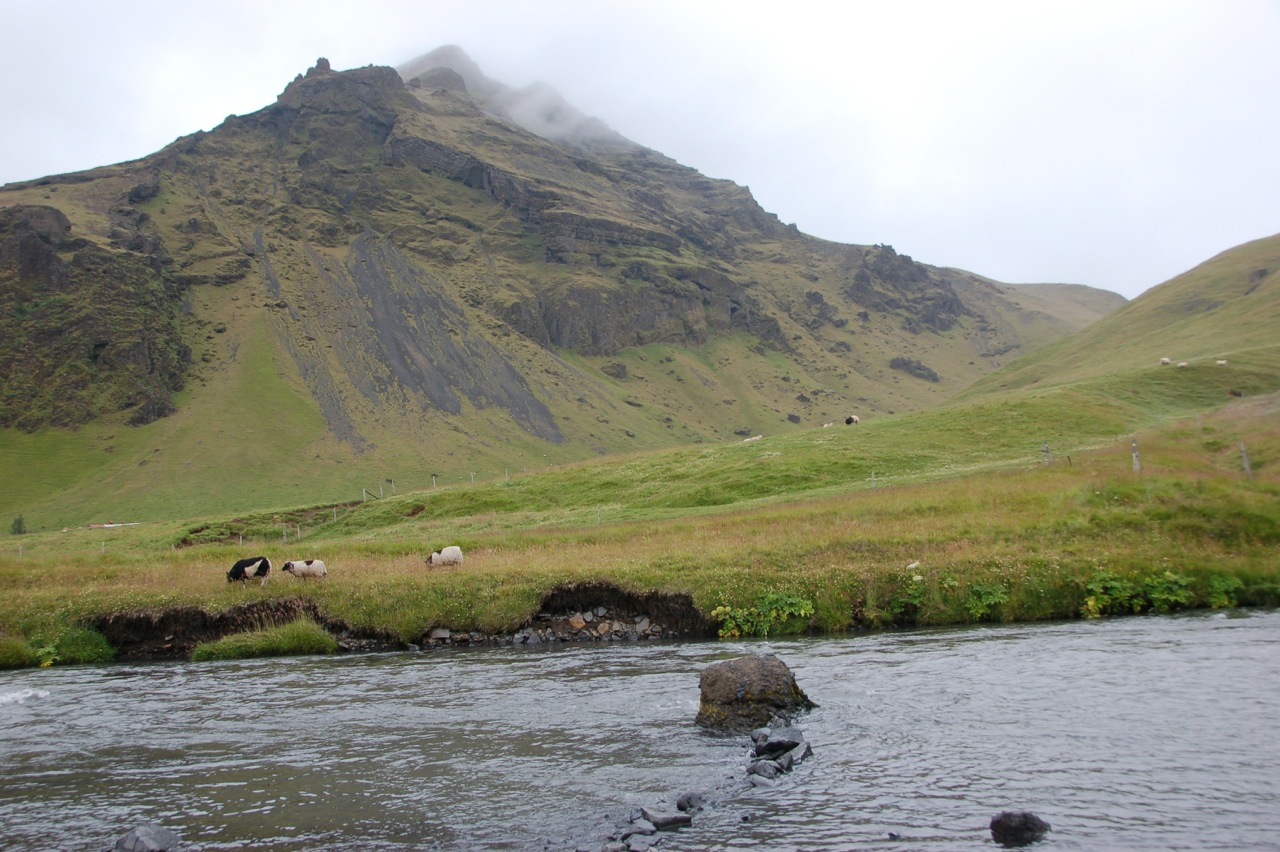
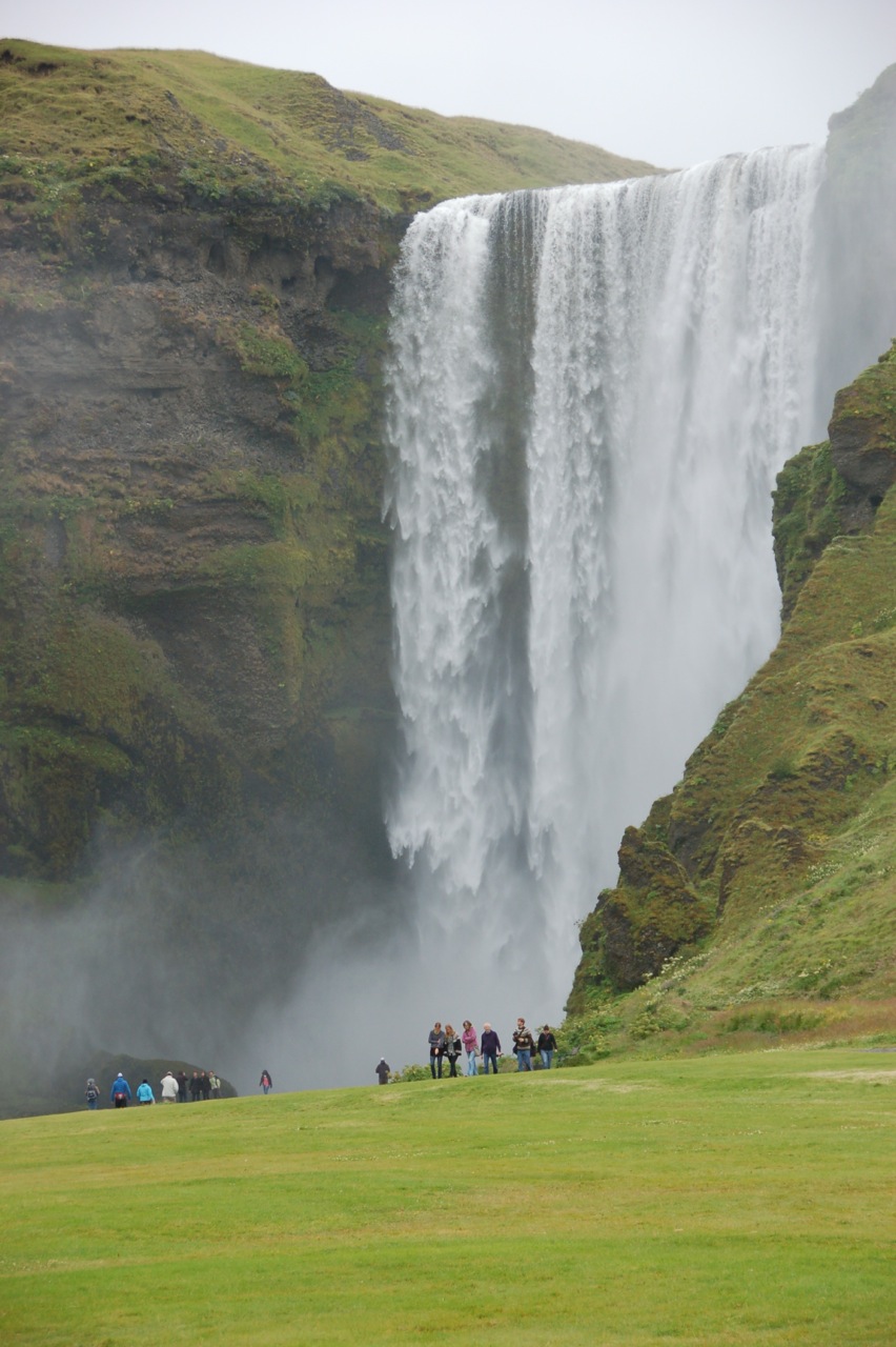
Iceland formed as an elevation of the ocean floor 20-24 million years ago and rises to 7,000 feet above sea level. The island was lifted by two forces: the separation of North American and Eurasian tectonic plates at the Mid-Atlantic Ridge, and a “hot spot” in the Earth’s mantel lying underneath Iceland.

According to Living Earth - Outline of the Geology of Iceland, the Mid-Atlantic Ridge “runs the length of the sea floor from the Arctic Ocean southwards past Africa.” Formed from the North American Plate and Eurasian plates, Iceland is slowly spreading, or “rifting”, along the Ridge.

The drifting or rifting rate is approximately 2 cm per year on average, but in reality the spreading is localized and a long time usually elapses between periods of drifting in a particular plate.

During rifting, magna normally rises to shallow depths within the crust to form intrusions, or less frequently reaches the surface in a single eruption or several eruptions during the rifting episode.

The mantel “hot spot” was crucial in Iceland's formation:

Only in certain locations are there hot spots underneath the oceans where magma production is sufficient to allow islands to form, among the most significant being Iceland, the Galapagos islands and the Hawaiian islands. 
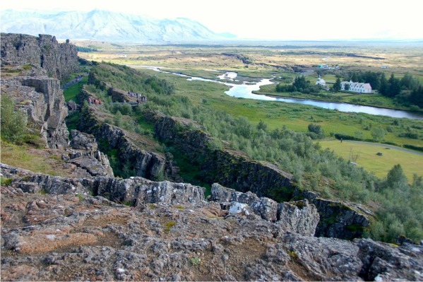
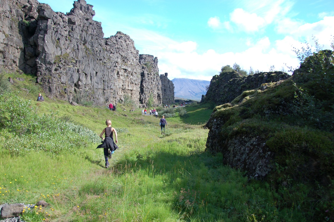
Þingvellir

As important as the rifting zone is to world geology, it is also important in Iceland’s history. Following the age of Settlement, the Commonwealth began in 930 AD with the establishment of an assembly, the Alþingi, said to be the world’s longest continuously active parliament. Each summer, the country’s chieftains met at Þingvellir, located in the rift valley, to adjudicate and create new laws.

According to Karlsson’s A Brief History of Iceland, each chieftain (historically numbering from 36-48) “could require every ninth farmer subject to their authority to attend the session with them.” With about 4,500 farmers on the Iceland during the Commonwealth, at least 500 men would be present, often accompanied by their immediate families.

The chieftains would selected two advisers and together would sit in a circle of benches. At the center, “the Lawspeaker" would "presided over the proceedings.” Appointed for a 3-year term, the Lawspeaker “was to memorize and recite the laws of the land.”

At Þingvellir, Iceland’s influence on Tolkien's during the writing of The Hobbit and The Lord of the Rings was coming into view. A sense of Middle Earth pervades this dramatic supramarine island.


References

Living Earth - Outline of the Geology of Iceland
Ari Trausti Guomundsson, Halldor Kjartansson, George Douglas
Publisher: Reykjavík : Mál og menning, 2007. 

A Brief History of Iceland
Gunnar Karlsson (Author), Anna Yates (Translator)
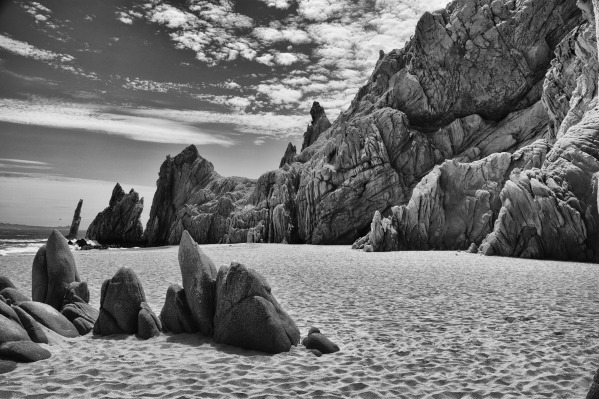
Monday
Aug202012

"Old Man River" feeling dry

In the spring of 2011, the Mississippi River swelled to historic levels, rising out of its banks, rolling across a wide flood plain, and eating at flood barriers. The story in 2012 could not be more different: the river has reached record-low levels in places.

NASA Earth Obervatory

Monday
Aug132012

Terra: Tropical Storm Kai-tak over Philippines

Image of Tropical Storm Kai-tak over the northern Philippines. Image taken today by NASA's Terra satellite. 

NASA Earth Observatory

Wednesday
Jun272012

Terra: Western wildfires & help for children

Numerous raging wildfires and possible dust events spread a pall of smoke over much of the western and midwestern United States.

NASA Earth Obervatory

And, this from the Early Childhood Team, Office of Lt. Governor Garcia:

The wildfires are currently affecting many Colorado residents, including young children.  We like to direct those interested in donating and volunteering to, www.HelpColoradoNow.org.  In addition, the following materials provide information on how to help children during this stressful time:

  • Talking to Children About Wildfires and Other Natural Disasters
  • Helping Children After a Wildfire: Tips for Parents and Teachers
  • Trauma related to wildfires
  • Save the Children: Disaster Support for Children
  • Saturday
    Jun022012

    Update: New Mexico fire now a "megafire"

    “Megafire” at Gila National Forest. Image: U.S. Forest Service 

    The largest wildfire in New Mexico’s history continues to burn, having already charred an area larger than New York City. Known as the Whitewater-Baldy Fire Complex, the wildfire has become another in a series of “megafires” to torch the American West due to an unprecedented combination of drought conditions, climate change, and alterations in land-management practices.

    Climate Central 

    Related Post

    Fire in Gila National Forest, New Mexico

    Sunday
    May272012

    Fire in Gila National Forest, New Mexico

    Image: NASA Earth Observatory

    The image above shows the Whitewater-Baldy Fire Complex, a large blaze burning in a mountainous part of Gila National Forest in western New Mexico. The rapidly expanding fire, which started with a lightning strike, had burned more than 10,000 acres (16 square miles) by May 24, 2012. 

    NASA Earth Observatory

    Picking up one of our children from a birthday party across town yesterday afternoon, we noted a thin smoky haze blowing through the Denver sky. Now I see why.

    Wednesday
    May232012

    Water on Earth

    Credit: Howard Perlman, USGS; globe illustration by Jack Cook, Woods Hole Oceanographic Institution (©); Adam Nieman

    This drawing shows various blue spheres representing relative amounts of Earth's water in comparison to the size of the Earth. Are you surprised that these water spheres look so small? They are only small in relation to the size of the Earth.

    The smaller sphere over Kentucky represents Earth's liquid fresh water in groundwater, swamp water, rivers, and lakes.

    Do you notice that "tiny" bubble over Atlanta, Georgia? That one represents fresh water in all the lakes and rivers on the planet, and most of the water people and life of earth need every day comes from these surface-water sources. 

    U.S. Geological Survey

    Tuesday
    Jan032012

    Biodiversity in Torres del Paine National Park, Chile

    Southern crested Caracara in flight

    The consensus of scientists is that the current rate of species extinctions is on average somewhere between 100 and 1,000 times greatet than prehuman levels, and that we are moving toward an extinction rate that is on average 10,000 times greater. 

    Stuart L. Pimm, Maria S. Alves, Eric Chivian, and Aaron Bernstein
    Sustaininig Life: How Human Health Depends on Biodiversity

    Fortunately, we have parks and preserves. Included are images of the biodiversity in Torres del Paine National Park, Chile. 

    The Southern crested Caracara (caracara plancus), also pictured at top, makes a loud call that sounds like "kara-kara". Is a scavenger but also preys on small mammals and birds. Member of the falcon family.

    Red fox (Pseudalopex culpaeos).

    Click to read more ...

    Wednesday
    Dec212011

    Nature Conservancy Year in Review

    "Effective conservation took many forms this year.  From working to restore oyster reefs in the Gulf of Mexico to playing a critical role in the formation of China’s national conservation plan, The Nature Conservancy worked to advance conservation all around the world." - The Nature Conservancy

    Wednesday
    Sep142011

    Terra: Removal of Glines Canyon Dam begins September 17